![]()
Welcome to the Digimap website. We specialise in creating software solutions and providing digital maps of Guernsey, Alderney, Herm and Sark. The Guernsey Bailiwick mapping is created by the States of Guernsey, and we are the sole marketing, sales and distribution agent for the States of Guernsey Mapping.
Wishing all our friends and customers a Merry Christmas and a Happy New Year!
Thank you for your continued support throughout the year—we truly appreciate your support
Please note:
- Our office will be closed on December 25th and 26th.
- We will be open from Monday, December 29th through to Wednesday, December 31st.

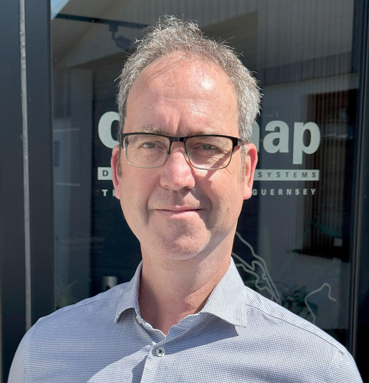
Digimap announces the appointment of Nick Whalley as Business Manager
Mapping the way for the future
Digimap Ltd has expanded its management team with the appointment of Nick Whalley as Business Manager. Nick brings extensive experience of project, service and operations management in a wide range of sectors, primarily within the public service. He has managed projects that improved business processes and overseen service delivery of large-scale systems.
Digimap was established in 1998 by Colin Le Conte to promote and sell mapping and data solutions and has developed software solutions and support for Government entities in Guernsey, Bahrain, the UAE, the Cook Islands, Jersey and the Isle of Man. “We are delighted to welcome Nick to our team,” said Colin. “Nick brings a wealth of experience, and his knowledge of business processes, project management and management duties will play an important role in the day-to-day operations of Digimap as well as assisting Digimap’s Managing Director, Tim Stonebridge, with setting strategy and direction for the future of our business.”
If you would like to understand more in relation to the products and services Digimap can offer, please contact info@digimap.gg or 01481 700321 for Guernsey or info@digimap.je or 01534 769069 for Jersey.
Digimap Announces New Managing Director Appointment
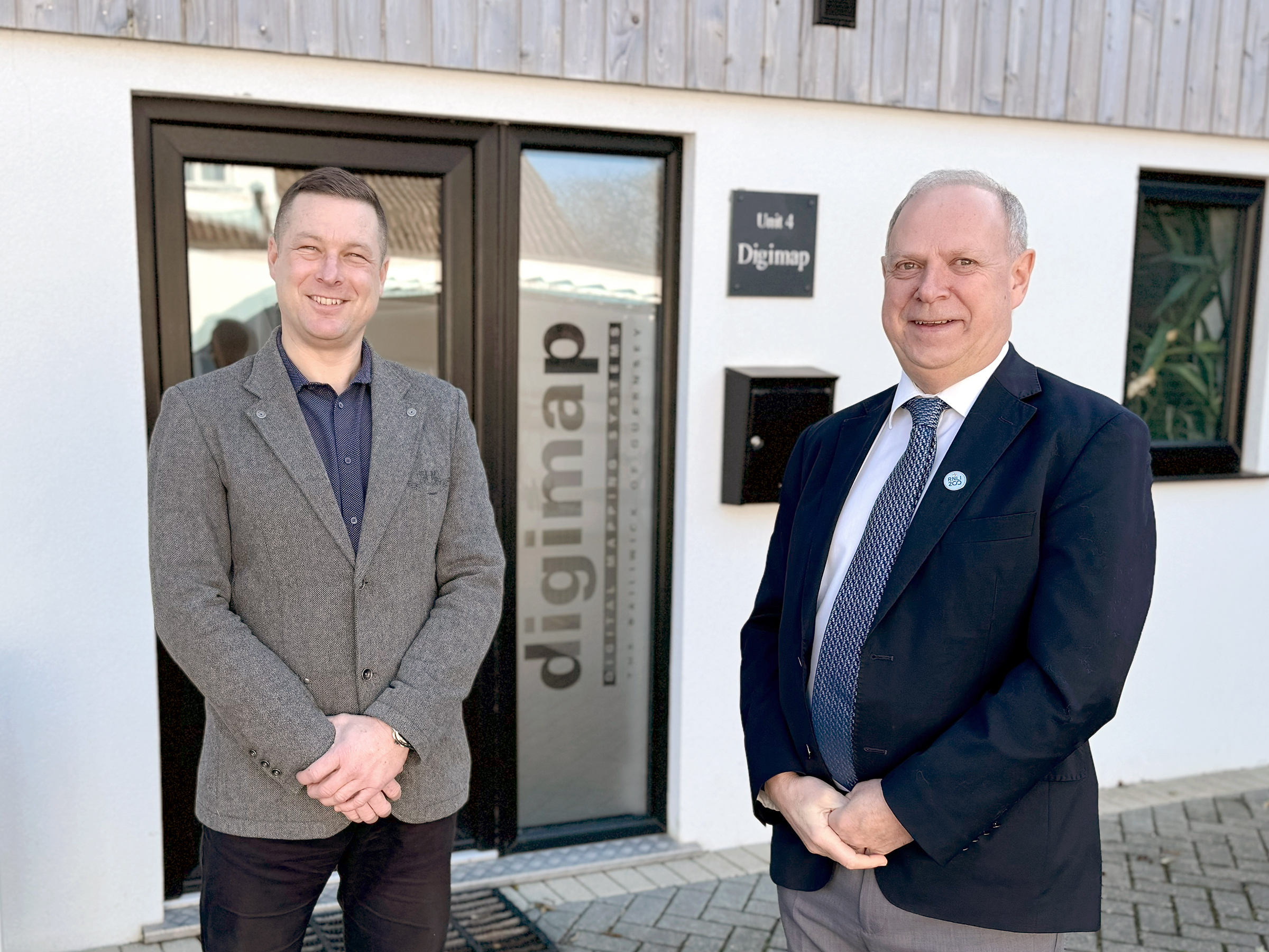
Guernsey, Channel Islands – Local software solutions company Digimap is pleased to announce the appointment of Tim Stonebridge as the new Managing Director of its Guernsey office, and Group Managing Director.
Tim succeeds Colin Le Conte, the founder and previous Managing Director, who continues to serve as Chairman of the Guernsey and Jersey offices. This strategic leadership transition marks an exciting new chapter for Digimap as the company continues to expand its influence in the Channel Islands and beyond.
About Tim Stonebridge
Tim Stonebridge joined Digimap three years ago, following an impressive 29-year career in the telecoms industry. During his tenure in his previous role as the Chief Security Officer, he was responsible for Critical Network Infrastructure, Cyber Security, Business Continuity, Data protection and Government Liaison locally and nationally.
His extensive experience in these areas positions him well to lead Digimap into its next phase of growth and innovation.
Founder’s Statement
Colin Le Conte, who founded Digimap 26 years ago, expressed his confidence in Tim’s leadership: “I am delighted Tim has agreed to be Managing Director of the Guernsey office and Group Managing Director. Together with John Surcombe, Digimap’s Director of Software Development, this provides excellent continuity for the work Digimap carries out in the Channel Islands and further afield.”
About Digimap
Founded in 1998, Digimap has established itself as a premier provider of software solutions and providing digital maps of the Channel Islands. The company’s innovative approach and commitment to quality have made it a trusted partner for businesses and governmental agencies alike.
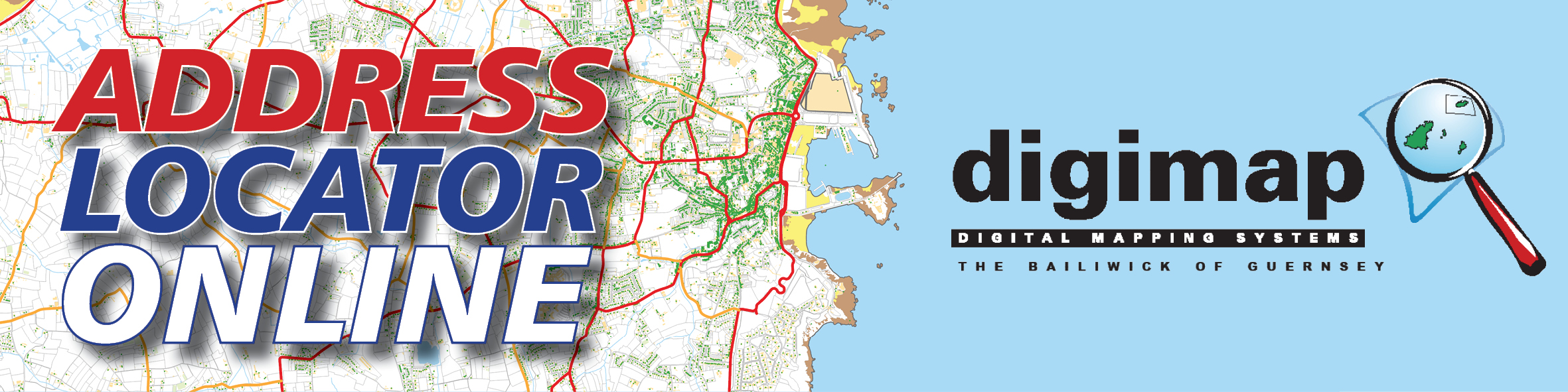
Address Locator Online 2024 New Functions and Features
We are pleased to announce a new release of our Address Locator suite of products. Following a successful round of engagement with our stakeholders and utilising the latest software we have refreshed the offering and created our most capable line of products to date. All of our Guernsey Address Locator range now have full mapping for Alderney, Sark and Herm. The Professional product also now has Aerial imagery of Alderney, Sark and Herm.
The Address Locator is always available online wherever you are, whether you are on the road all day or planning big things from your desk, one of our products will help you get the job done more efficiently.
Please click here for further information
We have moved to Cobo
Digimap are excited to announce that we have moved to a new home at Cobo.
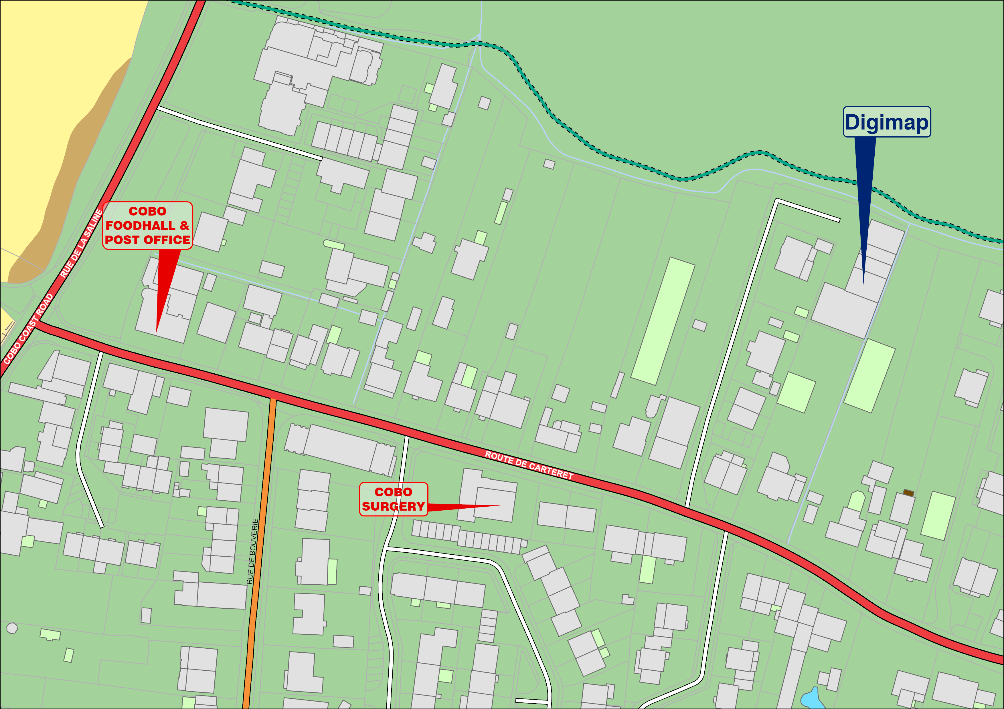
After some 25 years at the Old Tobacco factory we have decided to relocate to a larger, newly built office space at the Cobo Business Centre. As we continue to expand, the new office will have a dedicated training area as well as purpose designed spaces for our development and mapping teams.
Our contact details will remain the same and our new address is:
Cobo Business Centre, Route De Carteret, Castel, GY5 7YX
+44 1481 700321
info@digimap.gg
Perry’s ref: 8B3
49.4797 -2.5855
We look forward to seeing you at our new place soon!
WWII 1945 aerial photography – Community mapping project
Digimap is pleased to launch the States of Guernsey’s new WWII seamless aerial photography of Guernsey. The images are based on allied reconnaissance of the Island and were all taken in 1945. The States of Guernsey Mapping Team has assembled this scale accurate image from many hundreds of images across a number of different reconnaissance sorties. This aerial map has been made available on the internet by kind permission of the States of Guernsey Mapping Management Board.
The aerial data provides a unique insight into the defences constructed during the occupation of the Bailiwick. The 1945 imagery is now available as a seamless aerial photo of the island which makes it easy to navigate to sites of interest and compare with present-day data layers.
To celebrate the 75th anniversary of Guernsey’s liberation at the end of WWII and to support the Heritage 75 initiative, Digimap has used Esri’s innovative ArcGIS Online to provide this free of charge seamless mapping for the community.
The vision of Digimap in partnership with the States of Guernsey is to make this part of Guernsey’s heritage freely and easily available to the community.
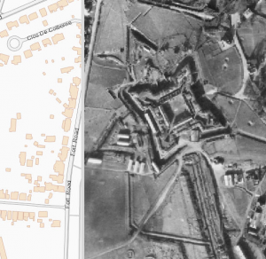 Please click on the image for the Web App provided by Digimap. The bar down the centre can be moved left or right to “swipe” between the latest map and 1945 photography, or just to view the 1945 aerial photography.
Additional background to the project can also be view from this Esri Story Map link;
digimap.maps.arcgis.com/apps/MapSeries/i…