![]()
See www.digimap.gg/products/address-locator-…
Why not sign up for Address Locator Deliveries – only £120 per annum. See www.digimap.gg/products/address-locator-…
AIS - Marine Traffic
Select the options below for further information
UK fishing boats
Guernsey Harbours information
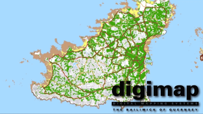
Guernsey
Digimap Guernsey Station information
Digimap Map of Coverage from Guernsey
Yagi aerial
Coverage from Guernsey from the yagi uni-directional aerial pointing towards Brest
Sark
Digimap/RES/C&W Sark AIS receiving Station information
Digimap Map of Coverage from Sark
Alderney
Digimap / Sure Alderney AIS receiving Station information
Digimap Map of Coverage from Alderney
Jersey
Digimap Jersey Station information
Digimap Map of Coverage from Jersey
Saint Malo
Saint Malo Station information Map of Coverage from Saint Malo